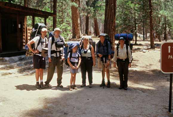
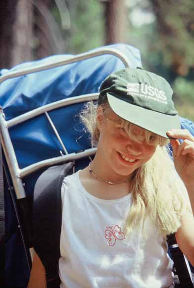
Group shot (Image #0307A-06.jpg)
Group shot (Image #0307A-06.jpg)
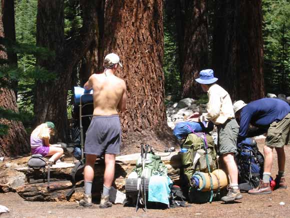
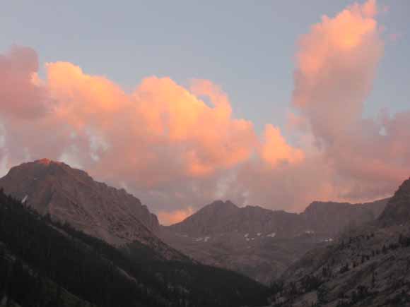
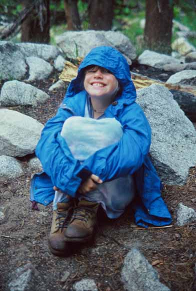
During the week of July 21, 2003, six of us "cousins" went to Kings Canyon National Park and hiked into the base of Mt. Brewer. We didn't make the summit but we saw some really fine hail, thunder, and lightning. Here is a photo essay of the trip:
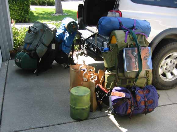
(Image #030721-4325.jpg)
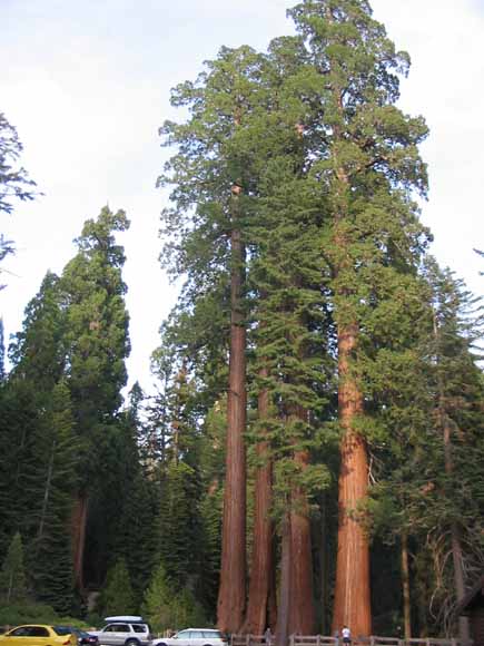
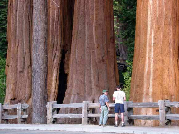
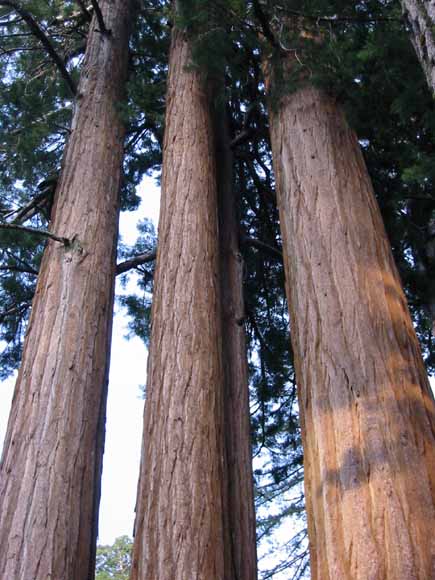
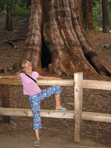
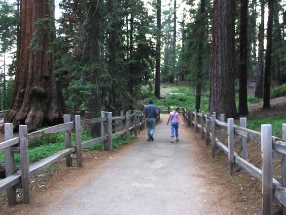
We started out at Grant Grove. We got there early enough Monday evening to have a visit of the Giant Sequoias before dinner at the restaurant.
(Image #0307-0007.jpg)
(Image #0307-0010.jpg)
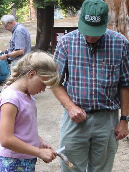
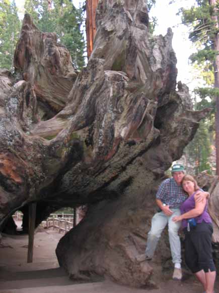
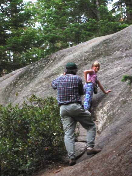
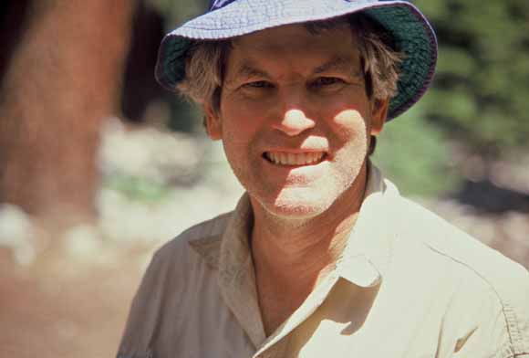
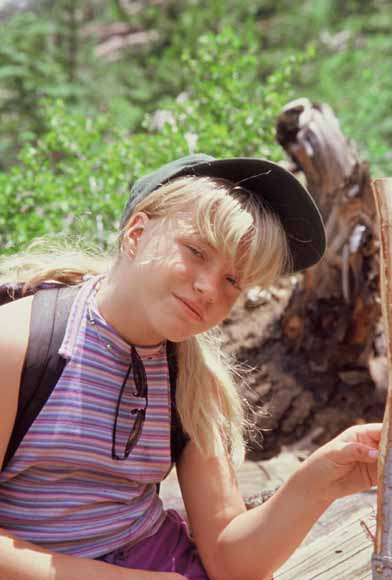
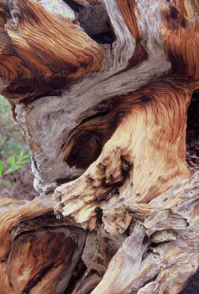
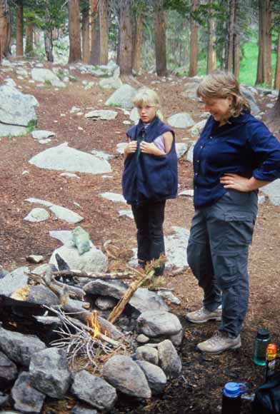
Whittling lessons (Image #030721-4327.jpg)
(Image #030721-4332.jpg)
(Image #030721-4333.jpg)
(Image #030721-4334.jpg)
(Image #030721-4338.jpg)
(Image #030721-4340.jpg)
(Image #030721-4345.jpg)
(Image #0307-0017.jpg)
Tuesday morning, we drive down into Kings Canyon...
(Image #030722-4351.jpg)
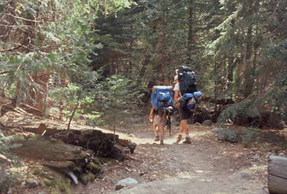
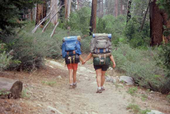
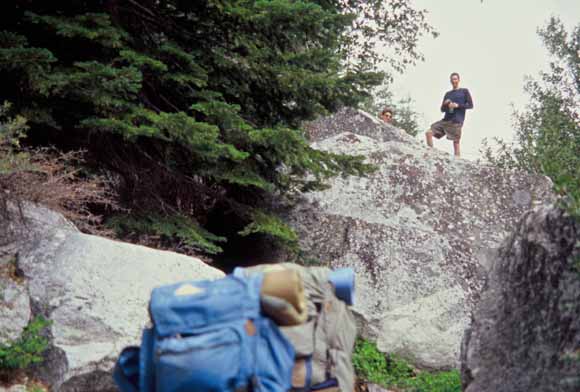
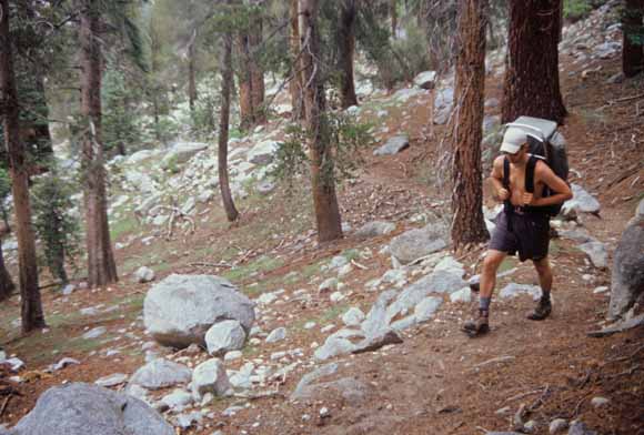
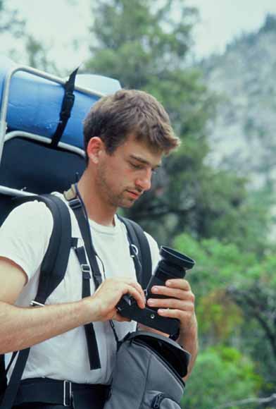
...got our Wilderness Permit, "saddled up," and began the hike.
(Image #030722-4354.jpg)
(Image #0307A-04.jpg)
(Image #030722-4357.jpg)
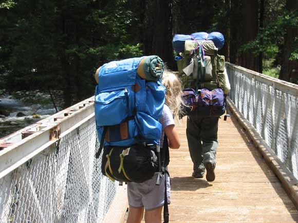
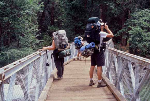
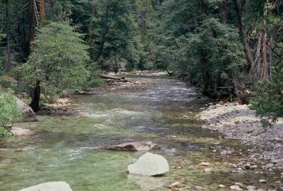
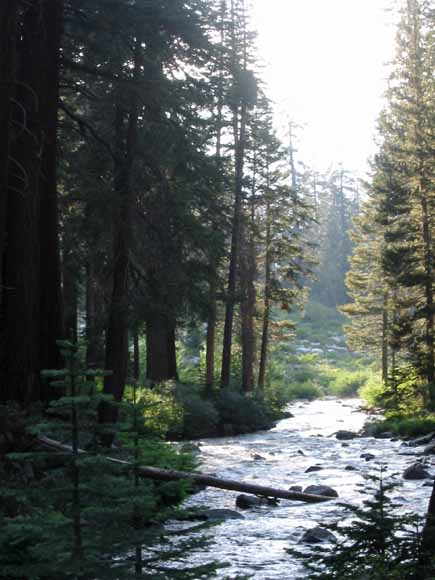
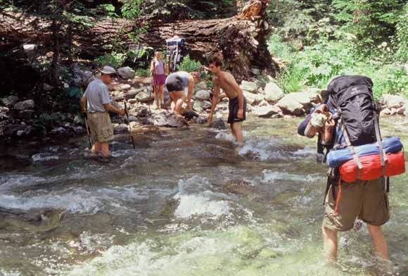
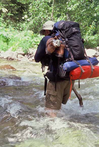
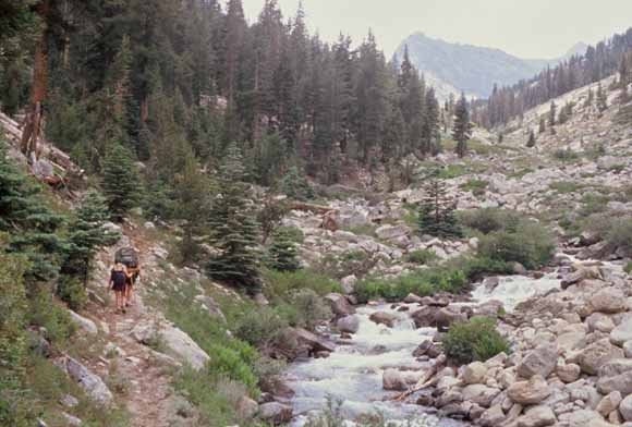
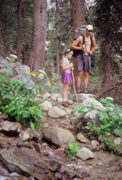
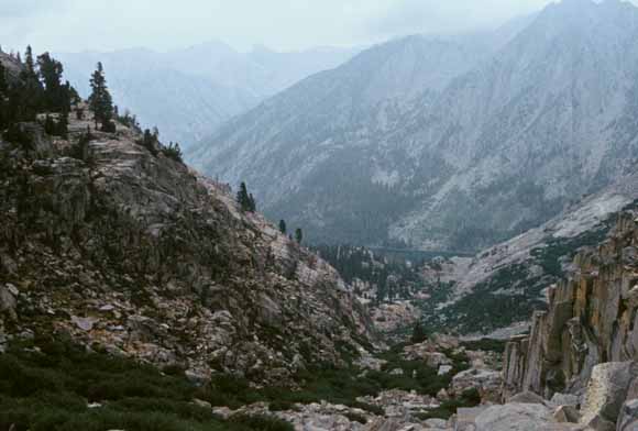
Two miles of flat hiking put us at the bridge that crosses the South Fork of the Kings River.
(Image #030722-4360.jpg)
(Image #0307A-10.jpg)
(Image #0307A-07.jpg)
(Image #0307A-08.jpg)
(Image #0307A-09.jpg)
(Image #0307-0026.jpg)
(Image #0307-0029.jpg)
(Image #0307-0031.jpg)
(Image #0307A-13.jpg)
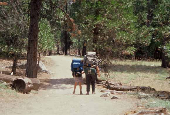
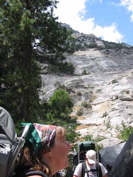
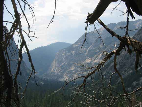
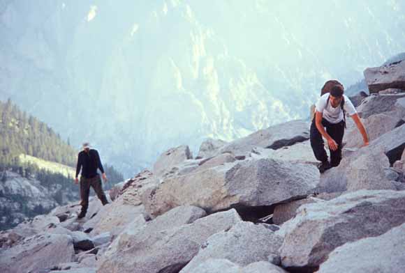
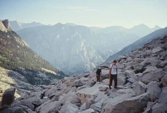
From there, we had a mile of switchbacks up Bubbs Creek to get us out of Kings Canyon.
(Image #030722-4362.jpg)
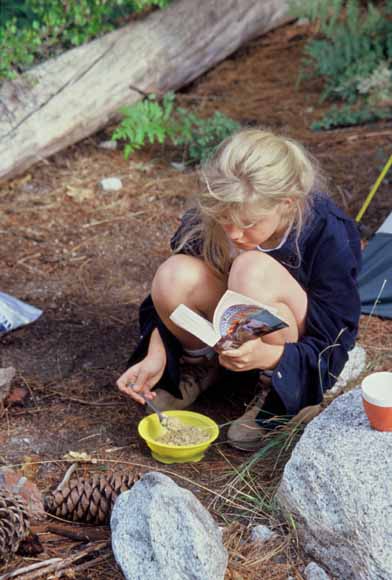
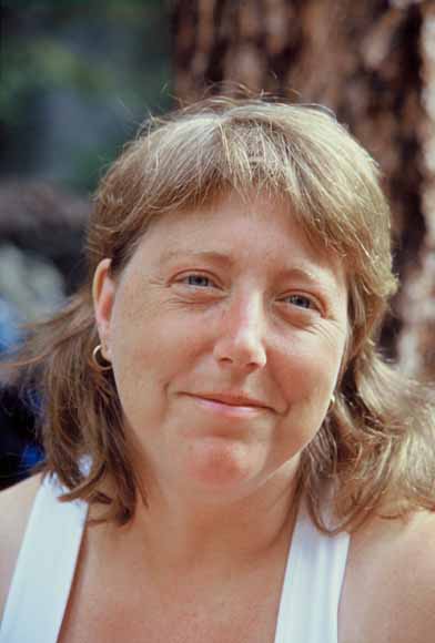
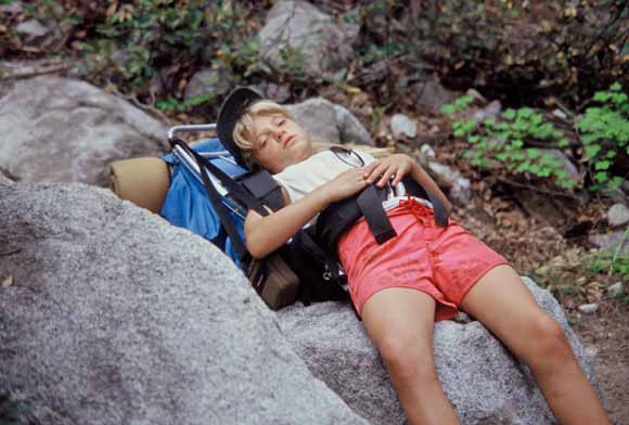
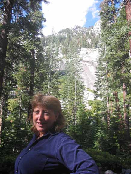
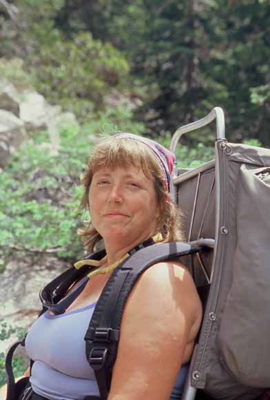
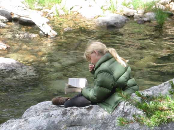
In camp, Maurie did what she usually does: read (and ate).
(Image #0307A-15.jpg)
(Image #0307A-16.jpg)
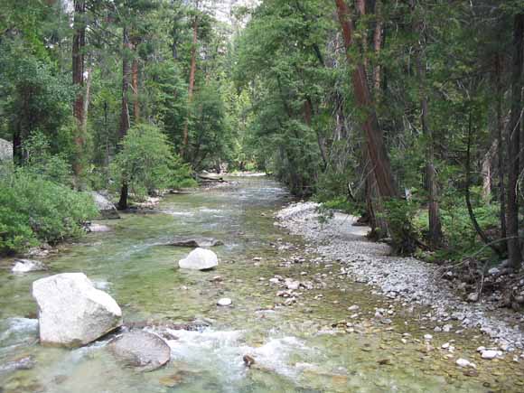
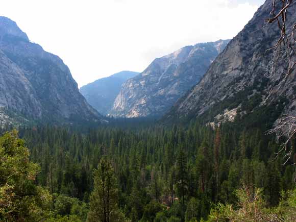
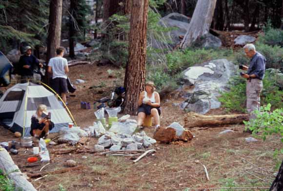
Wednesday, we made it to Junction Meadow and make camp so the hike up East Creek would be an easy day the next day. We cached 35 pounds of stuff we didn't need and picked it up a couple days later on the way back.
(Image #030722-4364.jpg)
(Image #030723-4366.jpg)
(Image #030723-4368.jpg)
(Image #030723-4369.jpg)
(Image #030724-4374.jpg)
(Image #030724-4375.jpg)
(Image #030724-4378.jpg)
(Image #030724-4380.jpg)
(Image #030724-4381.jpg)
(Image #0307A-17.jpg)
(Image #0307A-18.jpg)
(Image #0307A-20.jpg)
(Image #0307A-21.jpg)
(Image #0307A-22.jpg)
(Image #0307A-23.jpg)
(Image #0307A-24.jpg)
(Image #0307A-26.jpg)
(Image #0307A-27.jpg)
(Image #0307A-30.jpg)
(Image #0307A-31.jpg)
(Image #0307A-32.jpg)
(Image #0307-0051.jpg)
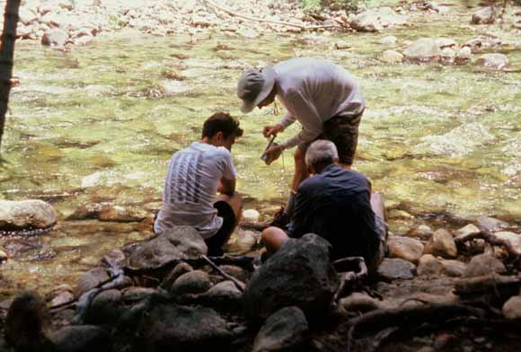
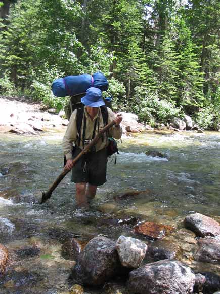
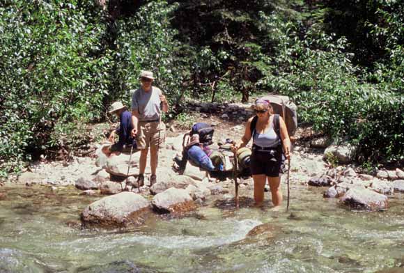
Thursday, we started the day with a ford across Bubbs Creek.
(Image #0307-0055.jpg)
(Image #0307A-34.jpg)
(Image #0307A-35.jpg)
(Image #0307A-37.jpg)
(Image #0307B-01.jpg)
(Image #0307B-02.jpg)
(Image #0307B-04.jpg)
(Image #0307B-05.jpg)
(Image #0307B-06.jpg)
(Image #0307B-07.jpg)
(Image #0307B-08.jpg)
(Image #0307B-11.jpg)
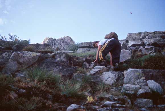
Friday, the three "boys," Justin, Jon, and Mikie, went up towards Mt. Brewer
Up before dawn; on our way at first light. (Image #0307B-15.jpg)
(Image #0307B-18.jpg)
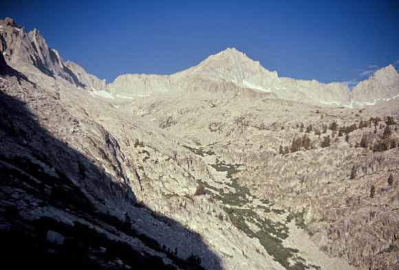
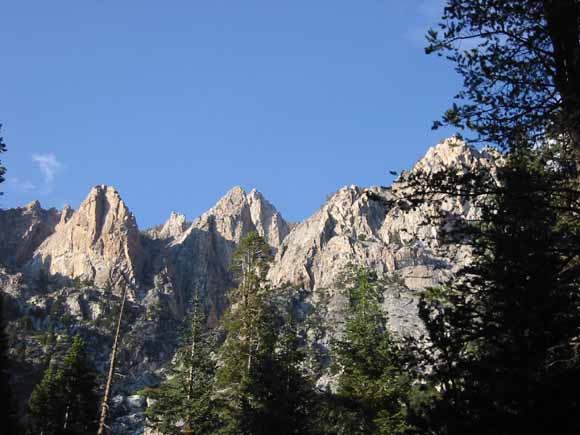
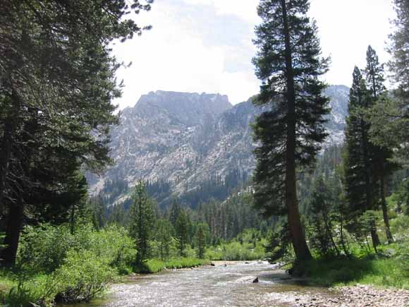
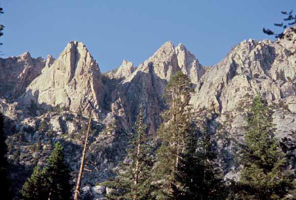
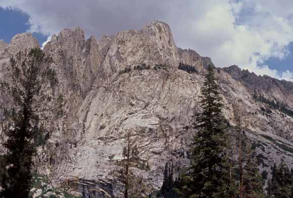
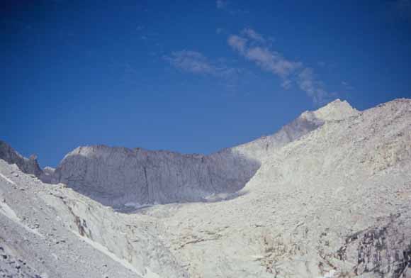
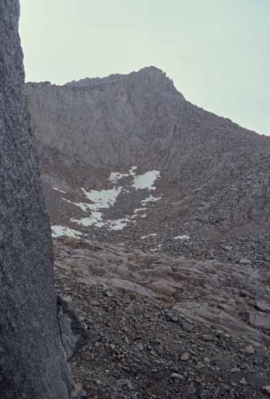
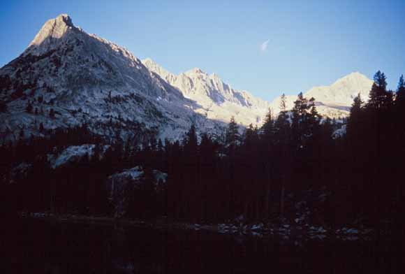
Mt. Brewer. That notch to the left of the peak was expected to be the most difficlut part. (Image #0307B-19.jpg)
(Image #0307B-20.jpg)
(Image #0307B-21.jpg)
(Image #0307B-22.jpg)
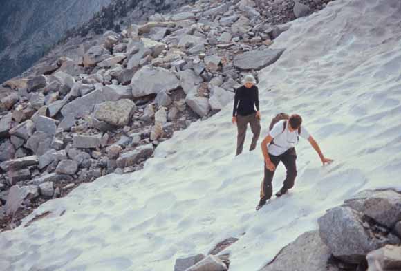
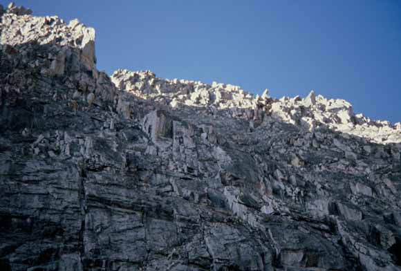
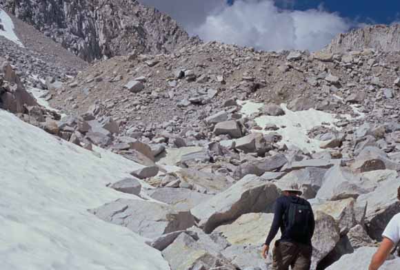
Above about 11,000 feet, we had snow in places. (Image #0307B-24.jpg)
(Image #0307B-25.jpg)
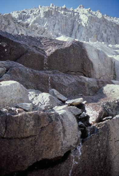
The last water was at the toe of the ice field below the notch. We had gone through 4 liters of water by then so we stocked up, adding iodine tablets. (Image #0307B-26.jpg)
(Image #0307B-27.jpg)
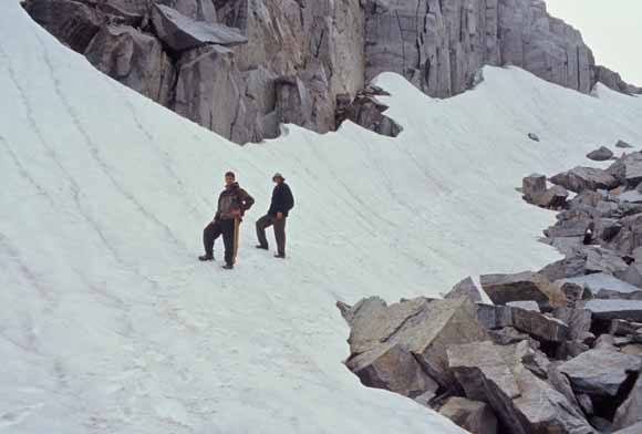
We skirted to the left (south) of the moraine and that worked well. (Image #0307B-28.jpg)
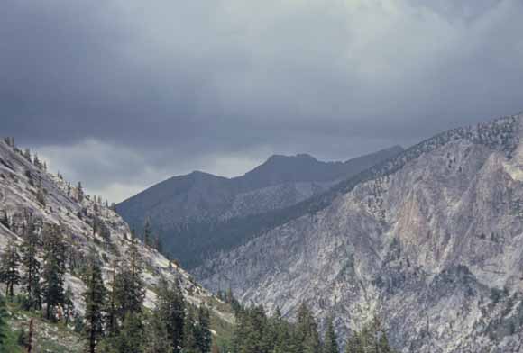
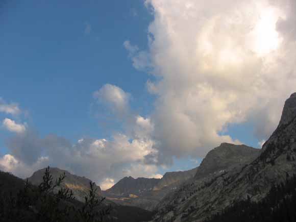
About 11:00 AM, the rain turned to hail. We found a cave so we would quit being pelted. The first thunder clap decided for us that we needed to give this peak up for another day; lightning is bad for your health. As we watched, the patch of blue to the west filled in, the peak got a bit covered with clouds, and it got wetter. Now and then, a little bit of blue would tease us but there was plenty of thunder and lightning over the next hour to convince us that we needed to be going down instead of up.
Happily, we figured out all this before we went up the notch. I would have been unhappy to have gotten up that thing and then had to turn back. If we were going to turn back, doing it before the notch was a good thing.
(Image #0307B-30.jpg)
(Image #0307B-31.jpg)
(Image #0307B-32.jpg)
(Image #0307B-34.jpg)
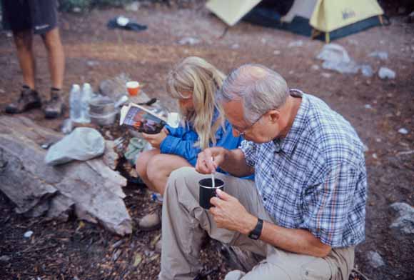
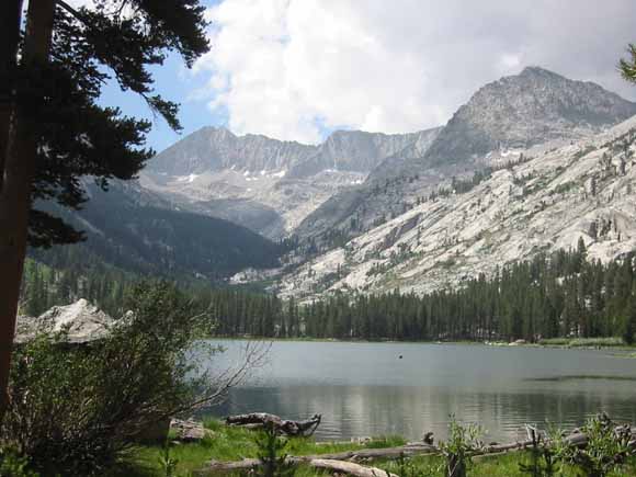
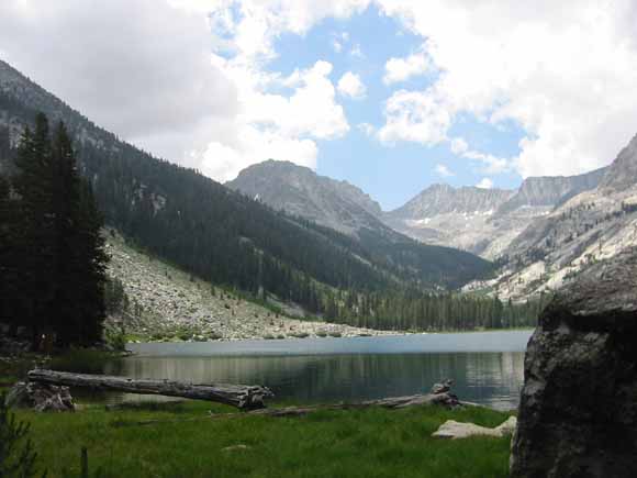
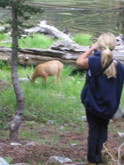
The climbers got back about 2:00 PM and joined. Wayne, Deanna, and Maurie hiked around the lake (and Maurie read).
(Image #0307-0073.jpg)
(Image #0307-0082.jpg)
(Image #0307-0090.jpg)
(Image #0307-0102.jpg)
(Image #030725-4382.jpg)
(Image #030725-4388.jpg)
(Image #030725-4389.jpg)
(Image #030725-4392.jpg)
(Image #030725-4393.jpg)
(Image #030725-4394.jpg)
(Image #030725-4425.jpg)
(Image #030725-4436.jpg)

(Image #030725-4440.jpg)
(Image #030725-4441.jpg)
(Image #030725-4442.jpg)
(Image #030726-4446.jpg)
(Image #030726-4447.jpg)
(Image #0307C-01.jpg)
Saturday was the long hike out (14 miles) but our packs were light, it was downhill, we were used to the altitude, and we were in good shape.
(Image #0307C-03.jpg)
(Image #0307C-04.jpg)
(Image #0307C-16.jpg)
(Image #0307C-20.jpg)
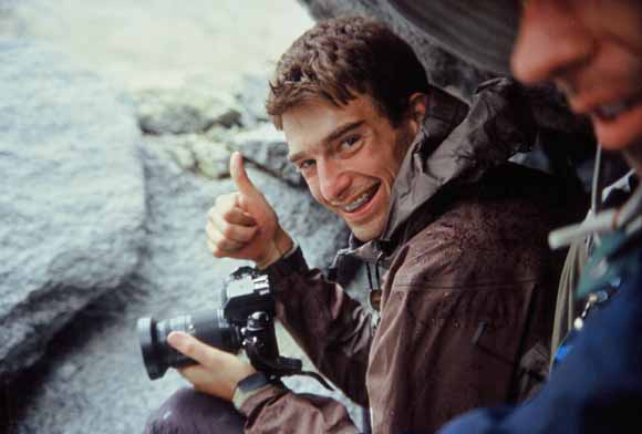
Mikie had to show off his week's worth of whiskers at work the next week.
(Image #030728-4448.jpg)
Web page by: Michael Diggles