Presents
Location: Stanford University
Anyone wishing to attend the lecture only is welcome at no cost.
This will be the 464th meeting since 1954
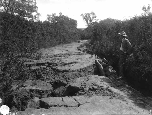
1906 photo showing 1906 rupture at Alpine Road.
Where the 1906 rupture of the San Andreas Fault crossed Alpine Road in Portola Valley has been applied at several locations, causing confusion. A now famous 1906 photo shows the crossing. The day of the earthquake, Stanford's Prof. Branner was dismayed to learn that the geologic map of the USGS Santa Cruz Folio he authored with professors Newsom and Arnold failed to show a fault at the rupture site. Branner then described and mapped the rupture at Alpine Road.
After incorporation in 1964, the new town of Portola Valley hired a Stanford professor to map the San Andreas rift zone in the community for planning purposes. He easily followed the 1906 rift in the northern and southern parts of the town but not in the chaparral-covered central part.
In the central area, we found two right-angle bends in a creek, the straight section between which pointed northerly to a known location of the rupture and southerly to Alpine Road. This straight section probably was the fault, but was far from the town's location of the rupture.
One 1980s geological publication conclude the well-known 1906 photo had been printed incorrectly in reverse and when reversed showed the 1906 rupture was on an eastern segment of the fault zone, requiring stepping of the rupture. However, another1906 photo taken at the location of the famous one showed a man with coat buttons on the right, correct for male attire, thus proving that photos taken at that location were not reversed.
We found detailed geologic maps by Branner in Stanford archives and the Bancroft Library in Berkeley, neither used by the town geologist, who may have been influenced by the 1908 Lawson report that showed the 1906 rupture incorrectly in Portola Valley. Branner's map, Lidar photos, kinks in the creek, and buttons solved the mystery of 1906 fault rupture in Portola Valley.
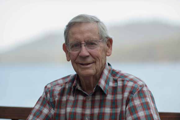
Chet Wrucke at Fallen Leaf Lake
Chet walked across El Camino Real from Paly High to Stanford in 1945, was caught in the WWII draft where he achieved the magnificent rank of sergeant in the army, retuned to Stanford for a BS in '51, an MS in '52, worked for the USGS for 43 years from the Mexico border to the Arctic shore, and obtained a Stanford Ph.D. in '66.
Reservations: The preferred way to make reservations is simply to email Mike Diggles at mike@diggles.com by Oct. 13, tell him you will attend, commit to pay, and bring your payment to the meeting. Mike always emails a confirmation; if you don’t get one, assume email crashed yet again and email him a second time. A check made to “PGS” is preferred, payable at the meeting.
Dinner and the social hour is $35.00; we have no student price for dinners this year.
Doris, whose wonderful crew prepares our meals, asked that we let you know that people who are late RSVPing and people who show up without a reservation will be welcome but that they may be eating on paper plates with plastic utensils (food supply permitting).
Officers: [vacancy], President; [vacancy], Vice President; [vacancy], Secretary-Treasurer; Elizabeth Miller, PGS Stanford University Coordinator
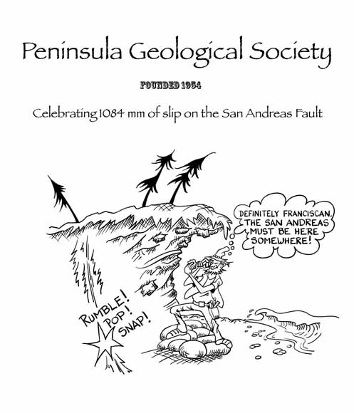
PGS cartoon by Rick Blakely
Date created: September 16, 2017
Last modified: October 13, 2017
Created by: Mike Diggles, Webmaster-Secretary-Treasurer, PGS.